
Anzeige: Dieser Beitrag entstand mit Unterstützung der KTM Sportmotorcycle GmbH
Right before we took the Southern Route of the Pamir Highway, we met an Austrian biker. He was frantic: “I’ve been in Georgia, I’ve been everywhere. But this… This is not a street. This is impossible. Deep sand, steep slopes. I’d rather ride this with a pushbike than my motorcycle.” He acted as if the road had personally insulted him. So with a mixture of anxiety and anticipation we went south, looking out for the catastrophe we were promised.
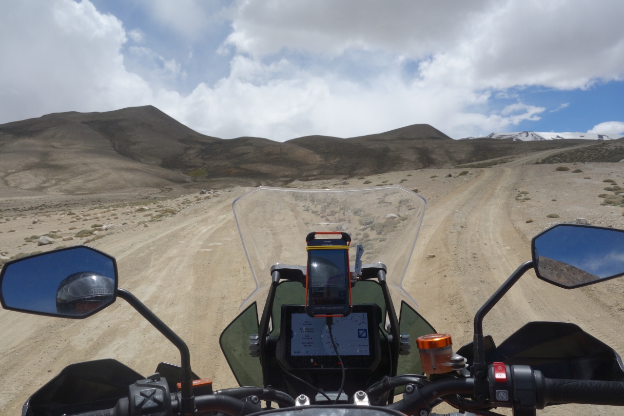
The road was indeed no road but a track. But not too bad. There were a few sandy patches, but it was definitely manageable with the right tires.
Just like before it was an incredible landscape we were riding through.

We went over the Kharagush pass at 4344 meters and further south until we reached a checkpoint. In the middle of nowhere.
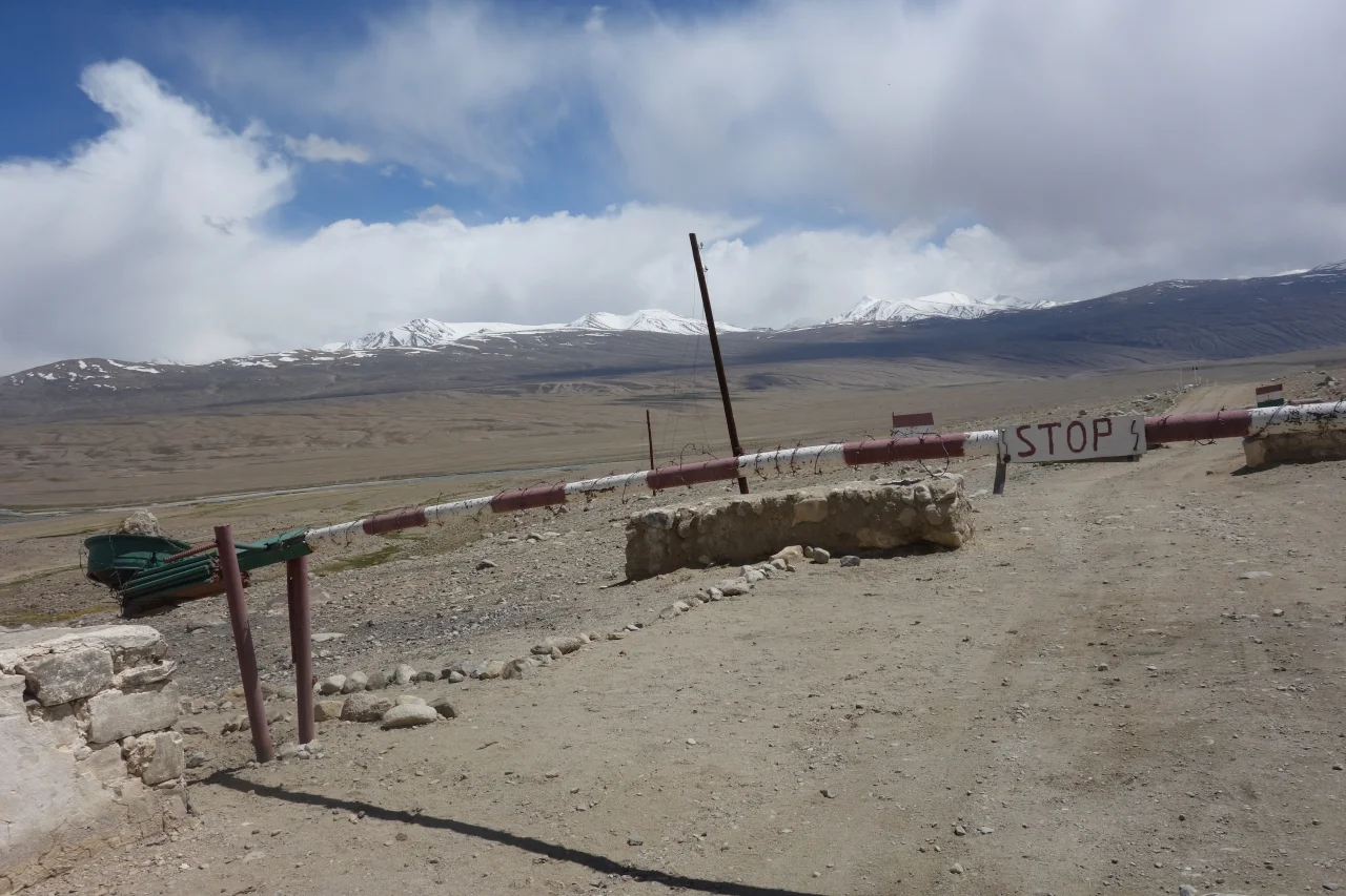
Two Tajik soldiers checked our passports and GBAO permits, that grant passage through the region – and we were ready for loneliest kilometers of our trip so far.

We took a right turn and there it was: Afghanistan.
We had entered the Wakhan Valley. From now on, the road was following along the Pamir river. It marks the border between Tajikistan and Afghanistan.

We stayed on the Tajik side. But most of the time the river was so narrow we could throw a stone on the other side. We didn’t. Even though there was hardly anyone to be seen on the Afghan side.

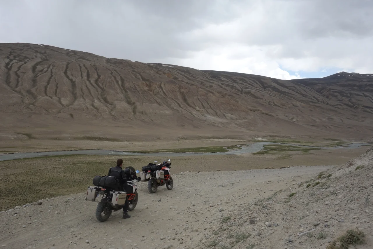
It was lonely on our side too. The only people we met within the next 100 kilometers were three construction workers (not working on the road).

The Hindu Kush to the left, gravel and sand below and the shining sun above us. It was offroad bliss.

And from time to time we were wondering what went wrong with the Austrian. Were the tricky passages still to come? Or did he suffer from overloading his bike? Or bad tires? Or both?
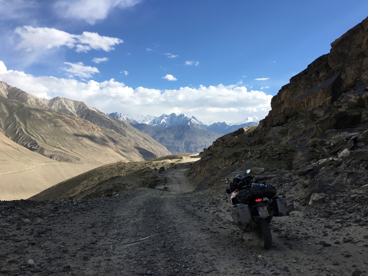
The Austrian guy was at least partly right though. The road was not easy, most of the times we could only go about 30 km/h. We had to watch the road and Afghanistan simultaneously. The good thing is that gravel roads come with a built-in attention assist. If you don’t concentrate on the road, you’ll eventually feel a big bump in the handlebar. That’s when you’ve hit one of the bigger stones. We managed to get through the whole Southern Route (about 350 km) without dropping our bikes - and were pretty happy about that.

Behind the mountains on the Afghan side lies the so called Wakhan Corridor, said to be one of the most remote places in the world. This strip is about 350 kilometers long an between 13 and 65 kilometers wide. There’s no road that leads through it, only a donkey trails. Borders to the neighboring Tajikistan, China and Pakistan are closed. It’s a dead end basically, inhabited by some nomads only.

Meanwhile we gave it yet another shot on our long, long way to the perfect selfie. Best outcome: looking at the picture we discovered that the sun at this altitude seems strong enough to make it through our helmets.

At one point the Pamir river joins the Wakhan to form the Panj. This was the view.

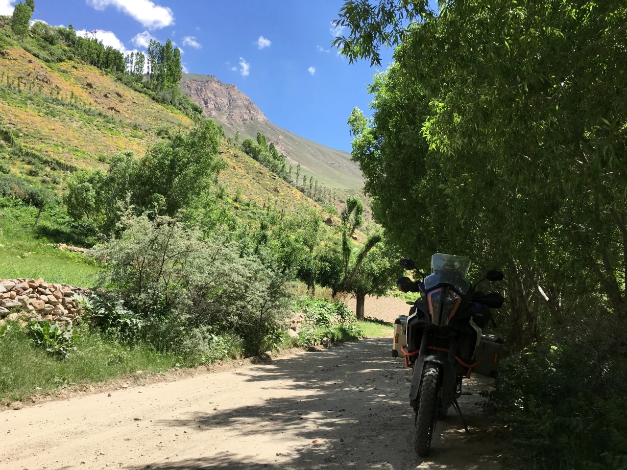
From that point on the road winds down in dirt hairpin bends to a town called Langar. It feels like being in an oasis. Everything is green in contrast to the grey, black and brown of the mountains.

After spending the night in a homestay, we got back on our bikes early in the morning.

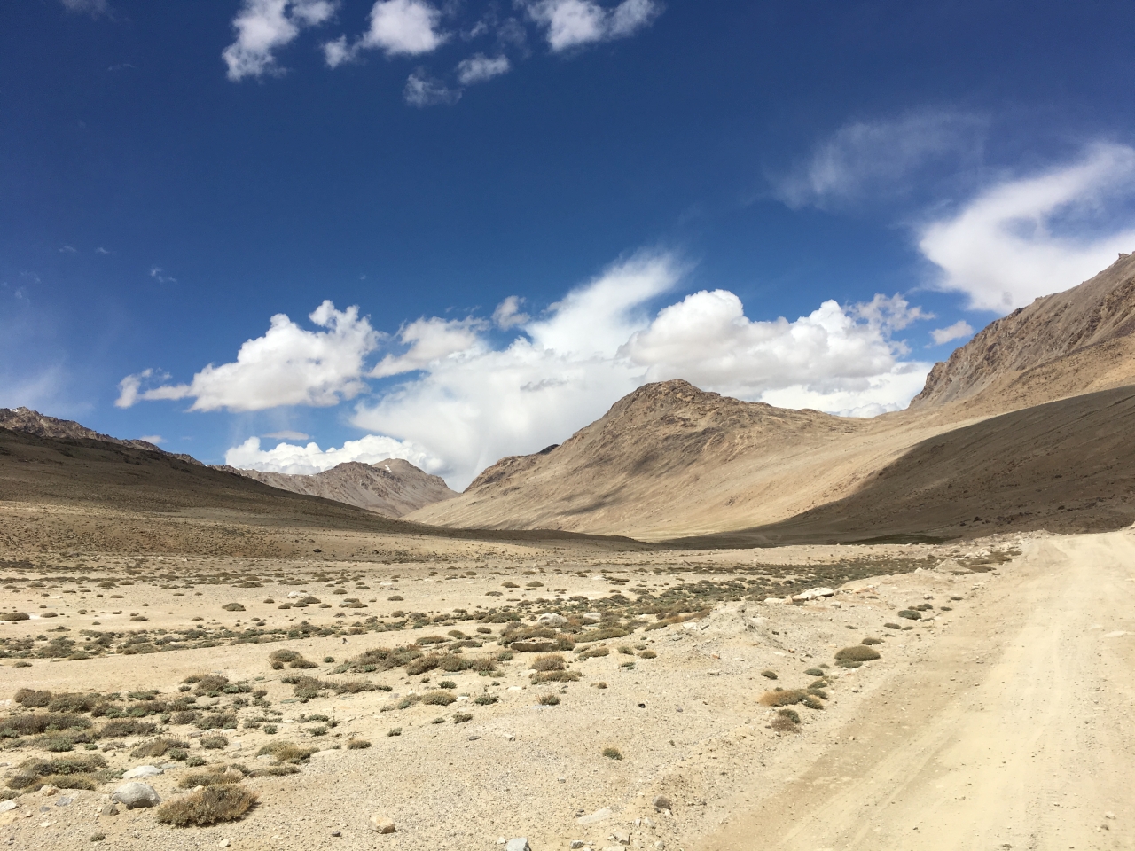
From now on, the road stayed on the bottom of the valley. And Afghanistan stayed on our left side.

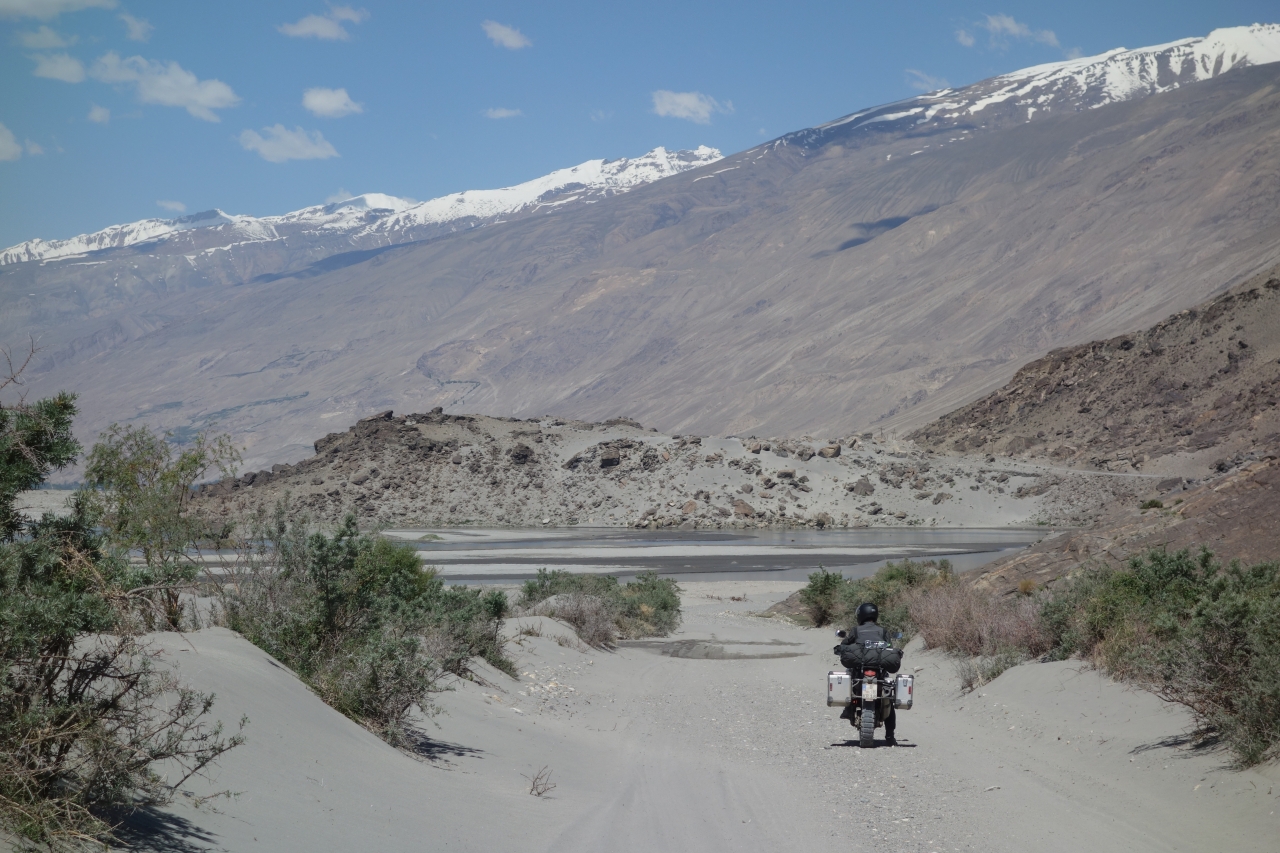
The road conditions got significantly better even though the following picture might suggest the opposite.
And things got a bit livelier again.

We passed through Ishkashim, a village once famous for its cross-border market. It used to open on an island in the Panj river between Tajikistan and Afghanistan, but was closed recently due to increasing Taliban activity in the region.

We carried on towards Chorogh, with about 30.000 people the biggest town in the region by far.
Deeply impressed by Afghanistan and the Hind Kush, the next question we had to answer for ourselves was: Where should we go next? Taking the eastern path towards Tajikistan’s capital Dushanbe would mean we’d have to re-enter Uzbekistan and ride through the Ferghana Valley again. Taking the northern route of the Pamir Highway stay in the mountains longer, but would mean we'd have to ride back part of the way to Osh/Kyrgyzstan. We decided to sleep over it. In Chorogh. 500 meters away from Afghanistan.
